Hailuoto’s 58-Year Ferry Era Ends as New Road Connection Opens
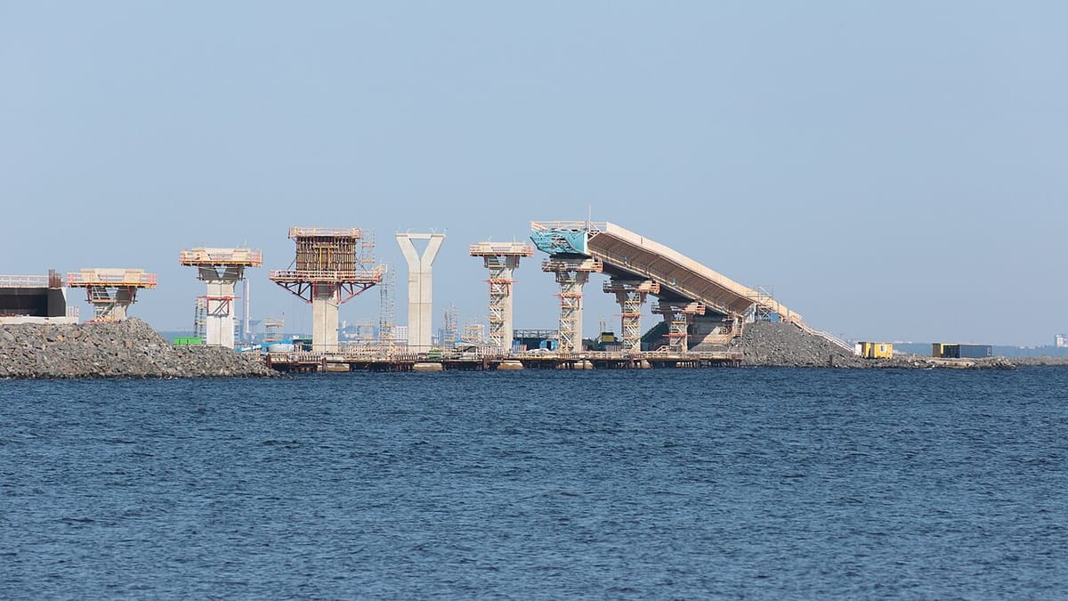
Finland’s largest island in the Bothnian Bay, Hailuoto, is now connected to the mainland by a permanent road link, marking the end of a 58-year ferry service. The 8.4-kilometre route, comprising a 6.9-kilometre embankment and two bridges, opened to traffic on Monday at 11:45, just minutes after the final ferry departures from Oulunsalo and Hailuoto.
The last ferries left their respective harbours at 11:30, with the first vehicles crossing the new connection shortly after. Among the first to traverse the route was Minister of Transport and Communications Lulu Ranne, who rode in a vintage red lorry driven by local resident Matti Välikangas. Antti Helanen, driving a Volkswagen Beetle—his family’s car when the ferry service began in 1968—was the first to depart from Hailuoto (Yle).
A Decades-Long Project Finally Realised
The fixed connection, which includes the 767-metre Huiku Bridge and the 737-metre Riutta Bridge, was designed to withstand the harsh conditions of the Bothnian Bay. The embankment, the longest in Finland, sits just 3.5 metres above sea level at its lowest point and is built to function even if water levels continue to drop (Ilta-Sanomat).
Planning for the road began in the 1980s, but construction only started in 2024. The project, completed a month ahead of schedule, was carried out within its parliamentary-authorised budget of €121 million (Finnish Transport Infrastructure Agency, cited in Ilta-Sanomat). Terhi Honkarinta, project manager at the Finnish Transport Infrastructure Agency, praised the collaborative effort behind the project, stating that all challenges were solved through teamwork (Yle).
Mixed Reactions Among Locals
Hailuoto, a municipality of just under 1,000 residents, has long sought a permanent link to the mainland. While many welcome the convenience of the new road, some locals express nostalgia for the ferry era and concerns about increased traffic on the tranquil island. The island, which has been inhabited since the 12th century, features a single school, a few shops, a bank, a petrol station, and a small hotel near the historic Marjaniemi Lighthouse (Yle).
Environmental considerations played a key role in the project, with monitoring conducted throughout construction to assess impacts on water turbidity, biodiversity, and shoreline erosion (Ilta-Sanomat). Despite initial opposition due to the area’s protected natural environment, the road has been designed to blend with the landscape.