Widespread Rain and Cooling Temperatures Mark Start of School Week in Finland

As summer transitions into autumn, many Finnish schoolchildren are returning to classrooms this week, facing unseasonably chilly and wet weather. A low-pressure system sweeping across the country has brought rain, wind, and a notable drop in temperatures, with conditions expected to shift dramatically by the weekend.
Rain and Wind Dominate Early Week
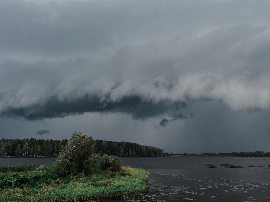
A low-pressure system moved east across Finland on Monday, bringing rain and gusty winds, particularly in the southern and central regions. Yle reports that the southwest wind was especially strong, with showers spreading from the west and north in the afternoon and reaching the east by evening. Before the rain arrived, eastern Finland enjoyed partly sunny and warm conditions, with daytime temperatures peaking between 10 and 23 degrees Celsius—the warmest readings in the east.
Overnight, the low-pressure system shifted eastward, but Tuesday remained unsettled, with scattered rain showers across much of the country. MTV Uutiset notes that cloud cover was widespread, though some sunny intervals occurred. Lapland experienced drier conditions than the rest of Finland. Behind the system, winds turned northerly, ushering in cooler air. Temperatures on Tuesday ranged from 8 to 19 degrees Celsius, with the north feeling the sharpest chill.
Coldest Day of the Week Expected on Wednesday
Wednesday, the final day of summer holidays for many students, is forecast to be the coldest day of the week. MTV Uutiset highlights that temperatures will struggle to rise above 15 degrees Celsius in most areas, with southern and western regions seeing slight warmth just above that mark. Meteorologist Markus Mäntykannas warns of potential ground frost or even freezing temperatures overnight in northern Finland.
Warmth Returns by Weekend
Despite the early-week chill, a shift in weather patterns is on the horizon. MTV Uutiset explains that a high-pressure system over Sweden and Norway—visible as "shades of red" on weather maps—will begin pushing warmer air toward Finland by Thursday. The warmth will first reach the western parts of the country before spreading more widely.
By Saturday, temperatures in southern Finland are expected to rise to heatwave levels, though rain may still affect some areas. The contrast between the early-week cool spell and the returning warmth underscores the unpredictability of Finland’s autumn transition.